How Long Is the Subway Hike in Zion?
The Subway's two routes in NPS's figures: bottom-up, a 9-mile round trip of 6 to 10 hours, and top-down, a 9.5-mile through-hike with rappels and cold swims. On the map, with who each suits.
The bottom-up Subway is a 9-mile round trip that takes most groups 6 to 10 hours. The top-down route is a 9.5-mile through-hike that needs rappels, 60 feet of rope and swims in very cold water. Both figures are NPS’s, and NPS calls both routes very strenuous. Plan on a full day either way, plus the drive to Kolob Terrace Road.
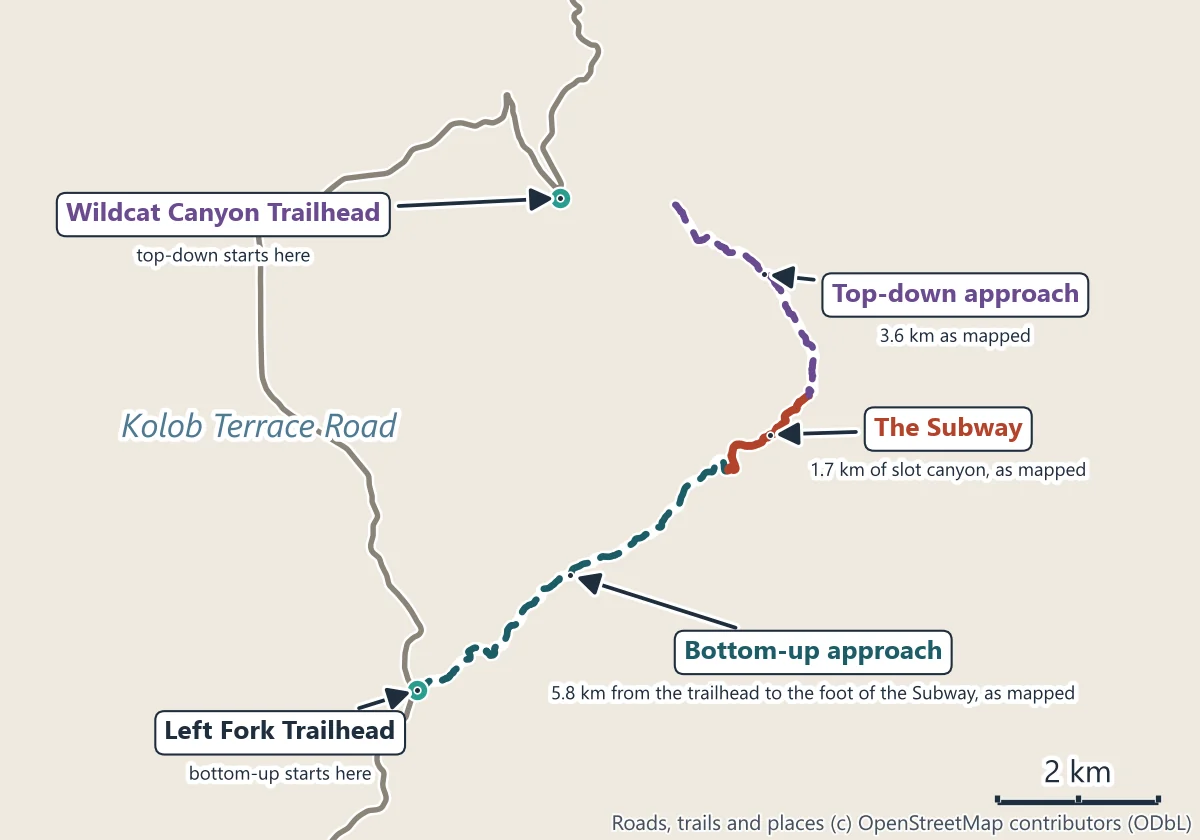
Bottom-up: in and back from the Left Fork Trailhead
| Bottom-up, in NPS’s figures | |
|---|---|
| Distance | 9 miles (14.5 km) round trip |
| Time | 6 to 10 hours |
| Elevation change | About 1,300 feet (400 m) |
| Trail | None: an off-trail Wilderness route |
| Water | Ankle to knee deep, with scrambling over large boulders |
| Starts and ends | Left Fork Trailhead, Kolob Terrace Road |
You walk up the Left Fork of North Creek to the Subway and come back the same way. There is no trail to follow, and NPS writes that hikers get lost in this area every year, so time on the route goes on finding it. On the map, the approach from the trailhead to the foot of the Subway is 5.8 km as drawn and the Subway slot itself 1.7 km; NPS’s 9 miles is the whole round trip.
Recreation.gov puts it the same way: most groups need 6 to 10 hours, wading through a river and scrambling over boulders and downed trees.
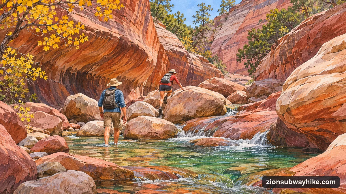
Top-down: through the Subway from the Wildcat Canyon Trailhead
| Top-down, in NPS’s figures | |
|---|---|
| Distance | 9.5 miles, one way |
| Skills | Rappelling, with 60 feet of rope |
| Water | Swims through several deep pools of very cold, debris-filled water |
| Clothing | Wetsuits recommended in even the hottest weather |
| Starts / ends | Wildcat Canyon Trailhead / Left Fork Trailhead |
Top-down comes in from above, drops through the Subway on rope and ends at the Left Fork Trailhead, so you need a car at each end or a shuttle you arrange yourself. The two trailheads are 12.2 km apart by road. From 16 April each year NPS issues no top-down permits while the snowpack at its Kolob station holds more than 35 inches of water, until it falls below 10 inches.
Getting to the trailhead
Both trailheads are on Kolob Terrace Road, on the park’s west side, not in Zion Canyon. From the Zion Canyon Visitor Center the Left Fork Trailhead is 35.1 km by road and the Wildcat Canyon Trailhead 47.2 km; NPS puts the Left Fork Trailhead at about an hour’s drive. No park shuttle goes there.
Which route suits whom
- Bottom-up suits fit hikers who are happy finding their own way off trail for a long day in and out of water. It needs no rope, but it still needs a permit and good route-finding.
- Top-down is for groups who already rappel and can handle cold swims. NPS lists rappelling skills as a requirement.
- Neither suits a group with children who cannot manage a 9-mile day, anyone who wants a guide (guiding is not allowed in the Zion Wilderness), or anyone without a permit.
If your group fits none of these, what to book without a Subway permit lists shorter trips in other canyons, each one for what it is.
What the warnings add up to
NPS’s warnings set the minimum: footwear and clothing for wading in cold water, a way to find the route, and for top-down the rope, harness and wetsuit it names. Pets are not allowed on the route. Start early: 6 to 10 hours is a long day in short winter light.
Map lengths are the lines as drawn; road distances are from the Zion Canyon Visitor Center by road. NPS’s figures are from its Subway and bottom-up pages (updated January 2026), checked November 2026.
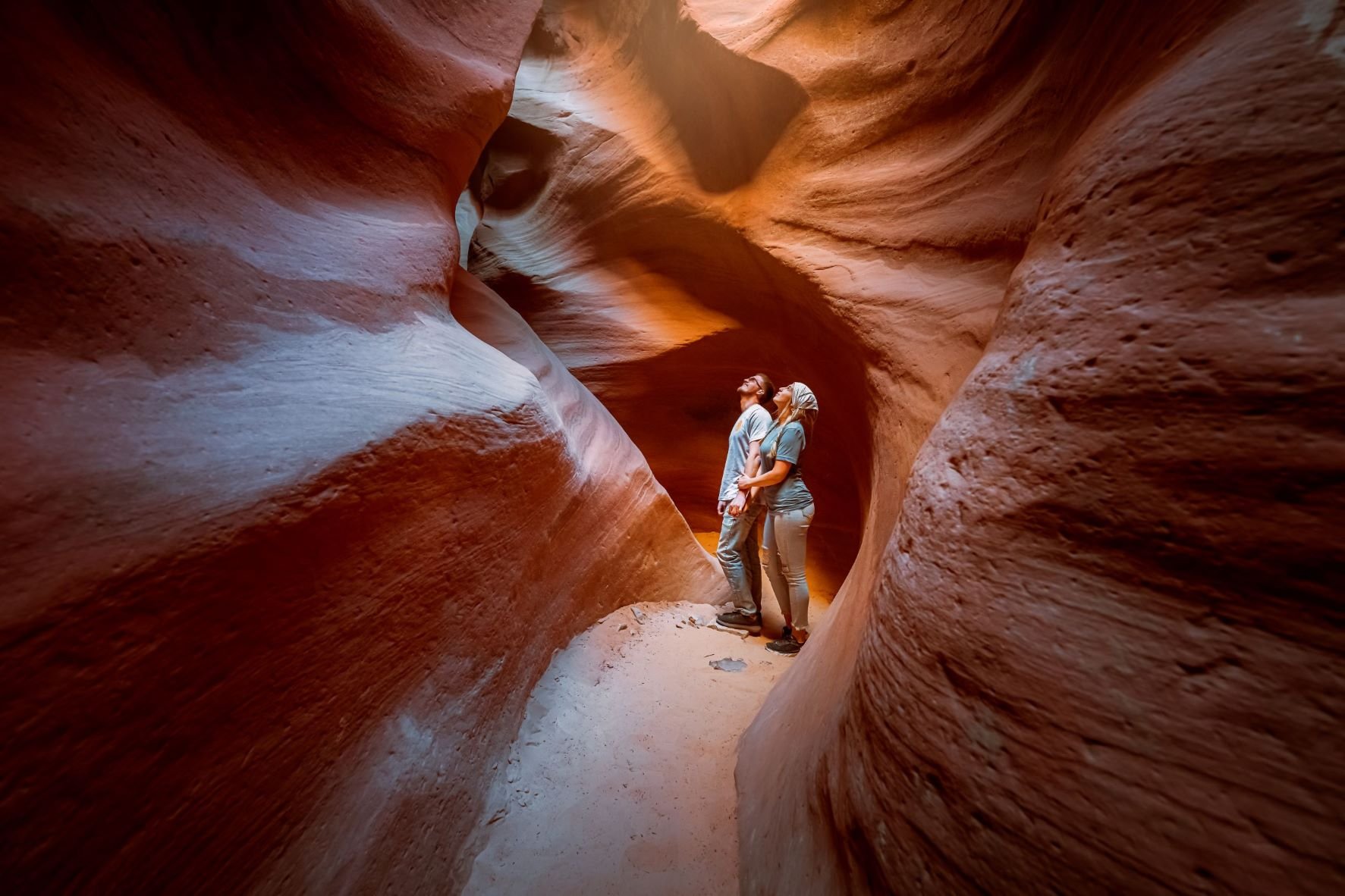
Two Hours in a Slot Canyon Instead
East Zion Adventures' UTV ride and slot-canyon walk from Orderville: 2 hours, graded easy, no permit. It is not the Subway.
Check slot-canyon dates